
Hawaii Image Gallery
GeoMapApp Links
- GeoMapApp Home
- Recently-Added Data
- FAQ
- Help Pages
- Video Tutorials

- User Forum
- Terms of Use
- Citing GeoMapApp
- Education
- GeoMapApp At Sea
- Image Gallery
- Development History
- eNewsletters
- Statistics
Image Galleries
- Africa
- Asia
- North America
- Geoid Images
- Antarctic Region
- Hawaii
- Mid-Ocean Ridges
- Gravity Images
- MARGINS Focus Sites
Movie Galleries
Download Links
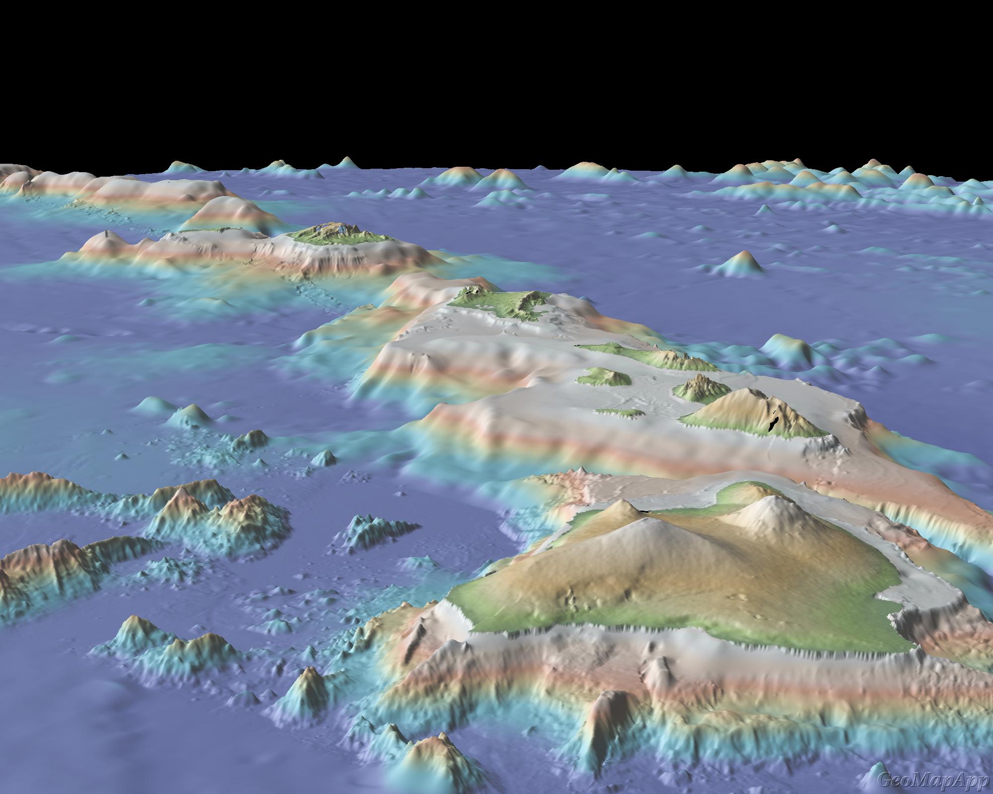
Hawaii 3D
Location: Hawaiian Islands Image Width: 1000 km (600 miles) |
|
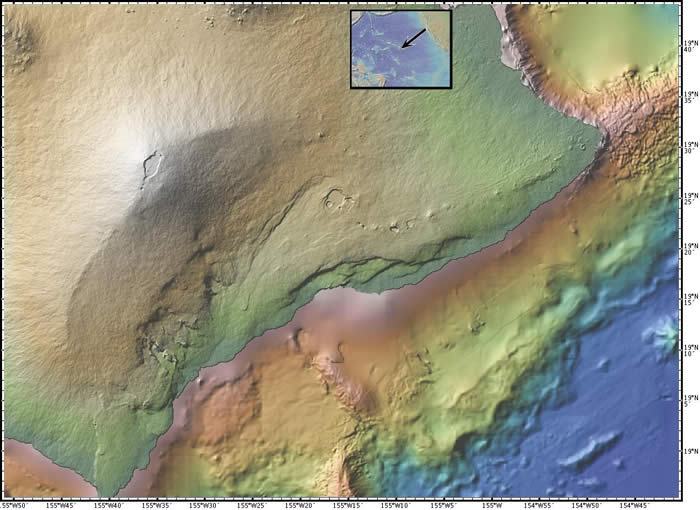
Kilauea
Location: Kilauea Volcano, Big Island of Hawaii Image Width: 105 km (60 miles) |
|
Hosted at Lamont-Doherty Earth Observatory of Columbia University. Site licensed under Creative Commons Attribution-Noncommercial-Share Alike 3.0 |

|
Funded by the US National Science Foundation (NSF) |